GeoFastMap API
Open-source server for fast vector and raster map serving
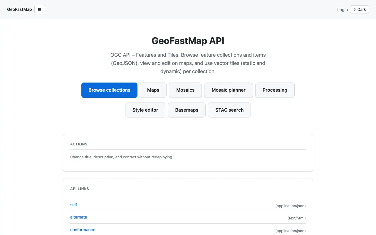 Visit geofastmap.com ↗
What is GeoFastMap API?
GeoFastMap API is an open-source geospatial server that combines vector tiles, raster imagery, and OGC-compliant APIs in a single Docker deployment. It lets mapmakers and GIS professionals serve large geospatial datasets efficiently using PostGIS, Tippecanoe, and TiTiler. The platform supports feature browsing, dynamic tile generation, STAC satellite image search, and style editing.
Designed for integration with existing tools like QGIS, it provides OGC API standards compliance and includes processing capabilities like intersection and erase operations. The creator built the codebase with AI assistance while maintaining custom architecture decisions for handling large-scale geospatial content.
Momentum
Daily activity over the last 30 days: upvotes, unique visits, new GitHub stars and Hacker News points.
How do we know it's vibe coded?
vibetrend discovered GeoFastMap API automatically. Evidence: HN post: "The project code was created using ai assistance, following my architecture decisions". View source.
Similar vibe-coded apps

Real-time global intelligence dashboard with live geopolitical signals

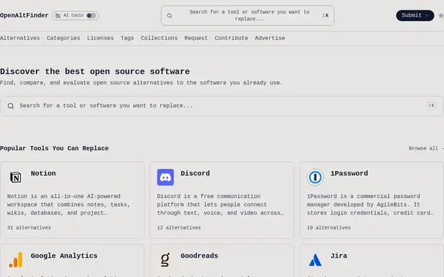
Privacy-first web analytics alternative to Google Analytics
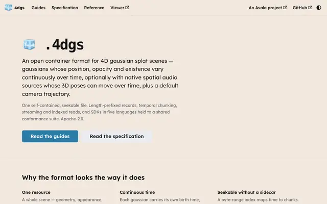
Open container format for 4D gaussian splat scenes with spatial audio
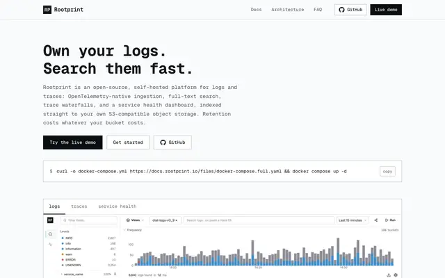
Open-source, self-hosted logs and traces with full-text search on object storage
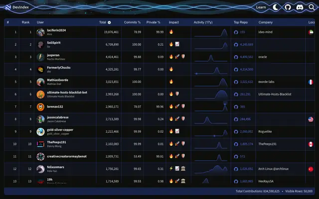
Rank the top 50,000 GitHub developers by lifetime contributions
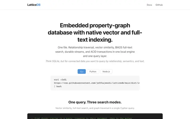
Embedded property-graph database with vector search and full-text indexing