Open City Planner
Open-source web GIS for exploring and analyzing urban areas with public data
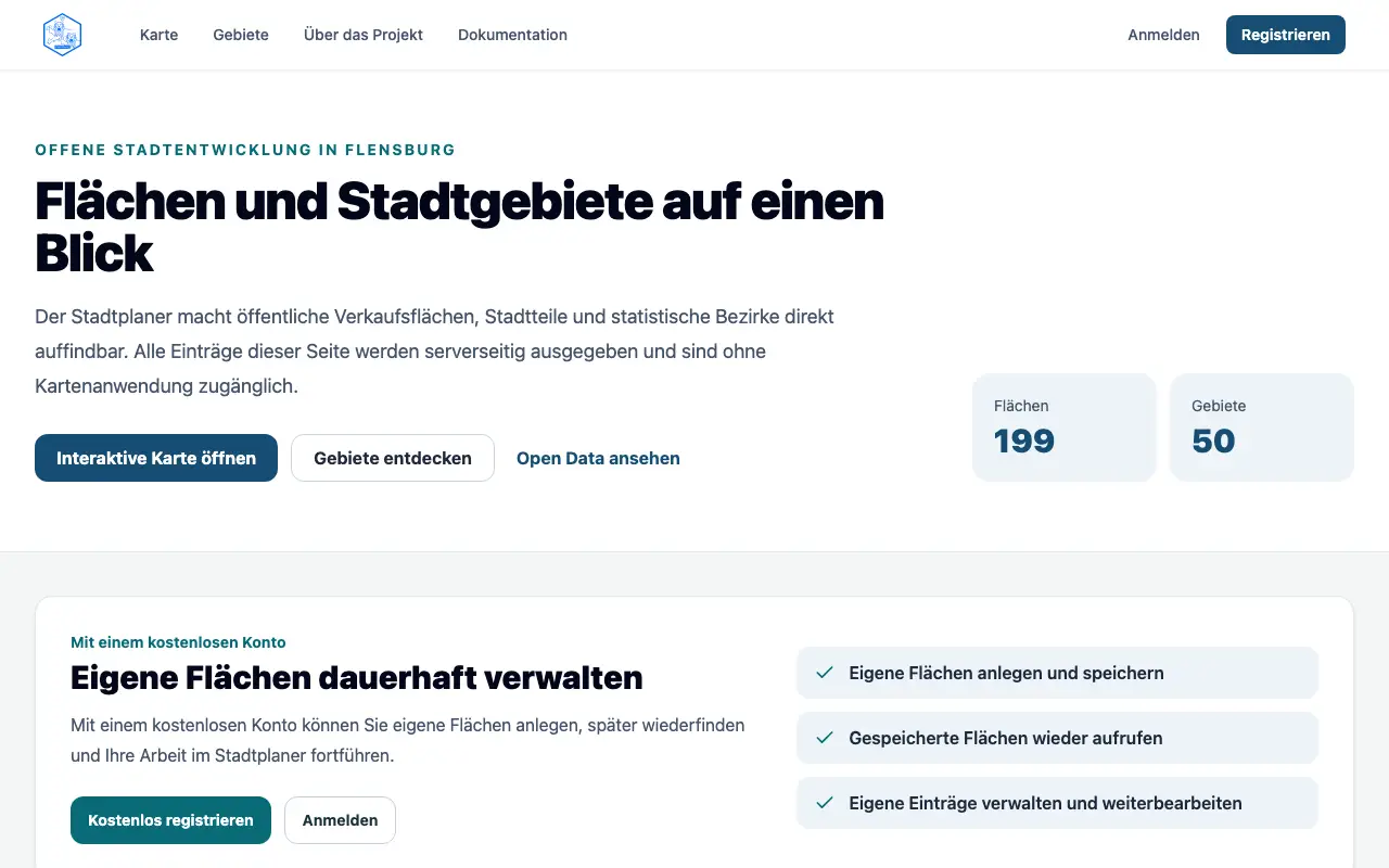 Visit stadtplaner.oklabflensburg.de ↗
What is Open City Planner?
Open City Planner is a civic-tech web application that makes spatial analysis accessible to non-specialists. It combines OpenStreetMap data with municipal open data in an interactive browser interface, allowing users to explore districts, search locations, and inspect spatial metrics. The tool is designed for urban planners, community members, and civic organizations who need to understand city structure and land use without specialized GIS expertise.
Users can search addresses and businesses, select districts to view polygon data and statistics, and filter mapped areas by attributes like industry and floor space. The project uses Flensburg, Germany as its reference implementation. The developers indicate the project incorporates AI tools in its development process.
Momentum
Daily activity over the last 30 days: upvotes, unique visits, new GitHub stars and Hacker News points.
How do we know it's vibe coded?
vibetrend discovered Open City Planner automatically. Evidence: GitHub oklabflensburg/open-city-planner; repo has AGENTS.md. View source.
Similar vibe-coded apps

Real-time global intelligence dashboard with live geopolitical signals
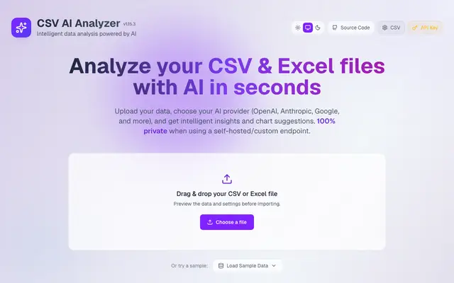
Analyze CSV files with AI, generate charts and detect anomalies in your browser
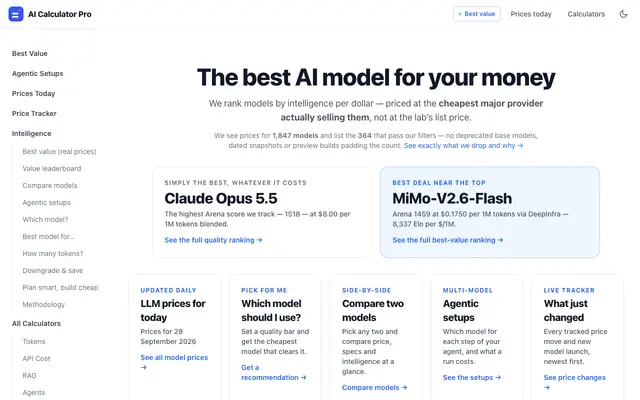
Track LLM pricing and find the best value model for your budget

Self-hosted AI agent with persistent memory and multi-platform messaging
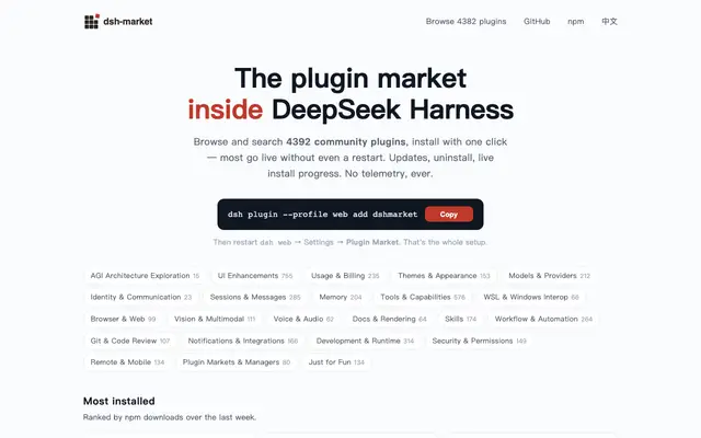
Plugin marketplace for DeepSeek Harness with one-click install

Community marketplace for DeepSeek Harness Web themes, pets, plugins
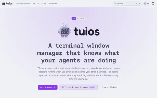
Terminal window manager with tiling, sessions, and agent state tracking